Know what you can build
on any lot, in seconds.
Enter an address to see zoning, overlays, setbacks, height, and lot coverage, with every result linked to its source.
Every constraint, resolved to the exact lot.
See the zoning district, setbacks, height, lot coverage, and overlays affecting a parcel, each linked to its source.
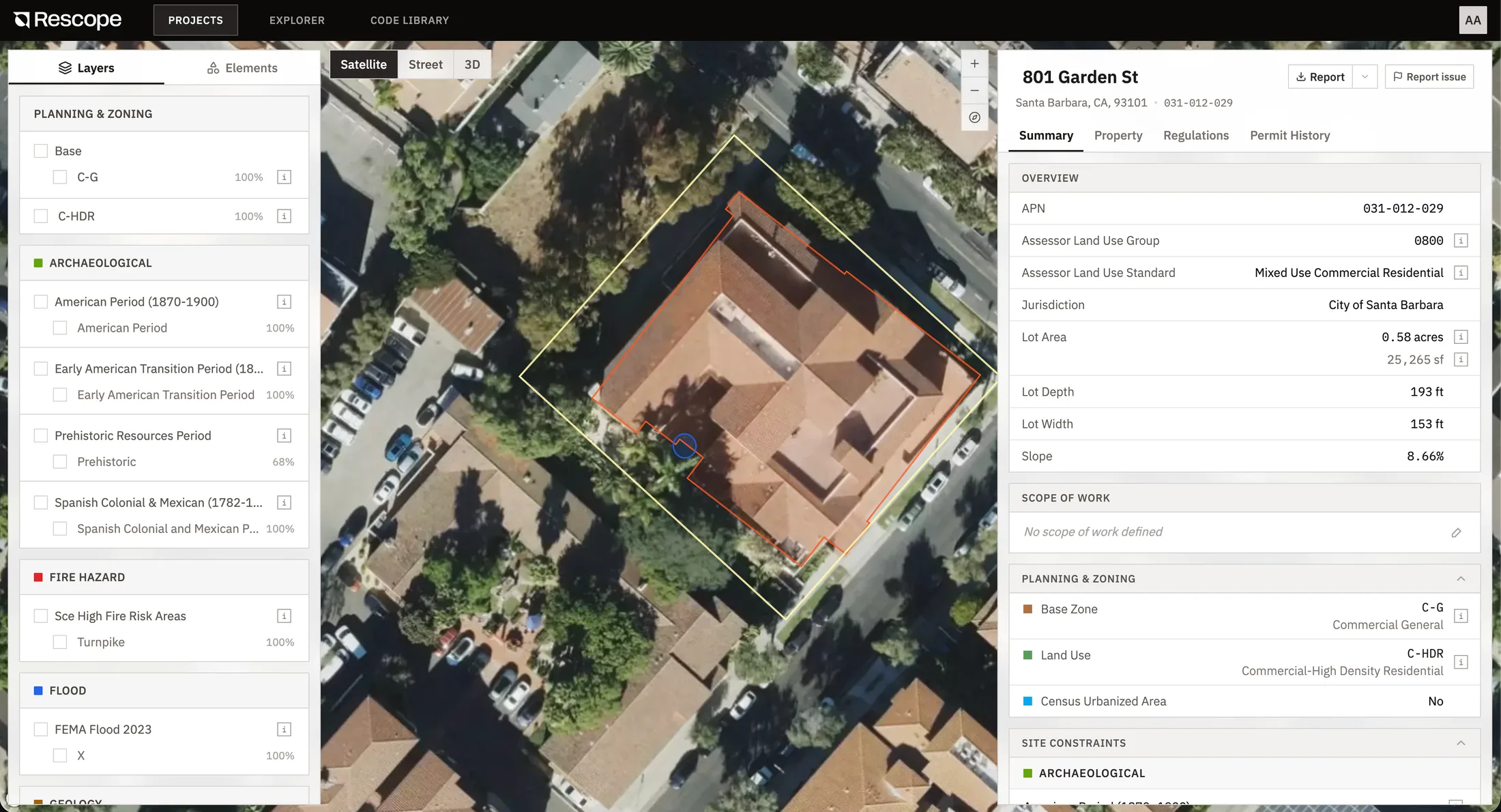
From one parcel to your whole pipeline.
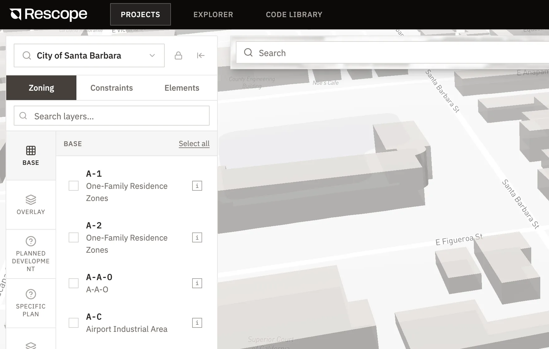
See the constraints in context
Zoning, overlays, and site constraints layered on the parcel in 2D and 3D, so nothing hides.
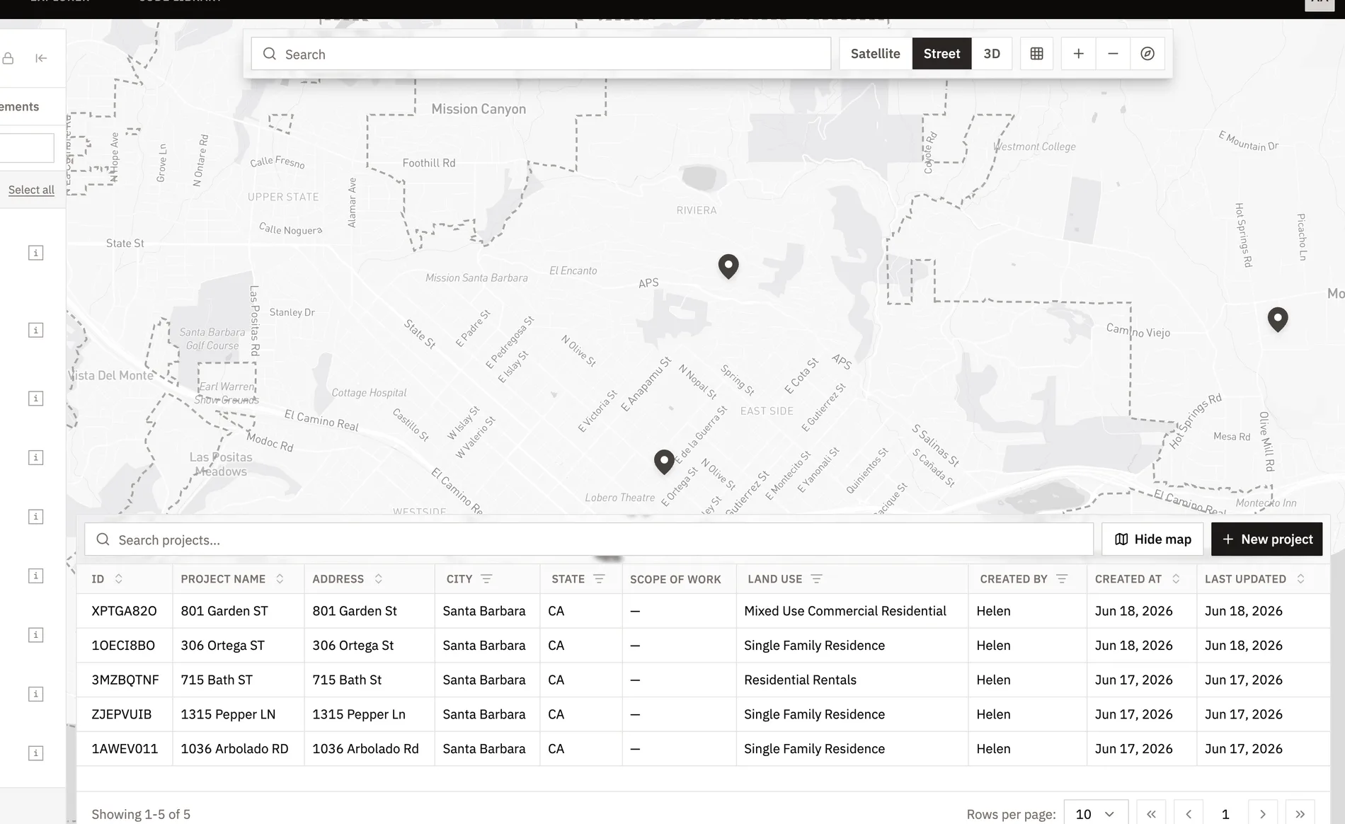
Screen an entire pipeline
See every parcel and its constraints on one map, and rule leads in or out at a glance.
FAQ
Analysis is built from official zoning codes, assessor parcel data, and municipal GIS layers, resolved to the specific parcel, and every rule comes back with its source citation so you can verify it. We recommend confirming critical decisions with the local planning department.


© Copyright 2026 Rescope Technologies, Inc. All rights reserved.
Trusted by builders from